Platform
The AIVR Platform is a multi-award-winning system that revolutionises Digital Inspection Capabilities, providing Remote Infrastructure Monitoring, Survey, Inspection and more. It enables experts from any rail discipline to monitor the lineside environment remotely and securely, offering unparalleled digital oversight of rail infrastructure.
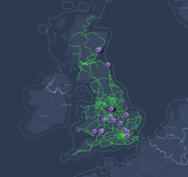
The AIVR Platform hosts over 2,000,000 miles of national video data of the critical line side environment.
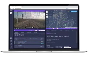
With an AIVR License, you can securely access and navigate the AIVR Platform using only your web browser and secure credentials.
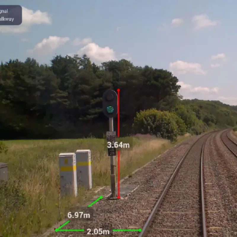
Access digital tools that allow you to locate, measure, annotate and analyse images whilst carrying out planning, sighting, and reporting activities – which can be shared within and across teams and groups.
Book a DemonstrationFor each hour an AIVR user spends on the platform, it’s estimated they save an eight-hour site visit or cab ride, including travel and planning, reducing carbon and incidences of fatigue. This efficiency not only streamlines operations but also enhances safety and planning accuracy.
An AIVR licence gives access to a suite of digital tools such as:
Measure
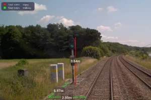
Measurement Tools can assist in signal & structure assessments, railway design and planning activities. Datum allows you to measure longitudinally from point A to point B following the track.
Review Safe Cess

Safe Cess Digital Overlay can be applied to support planning and identification of trackside positions of safety.
Annotate
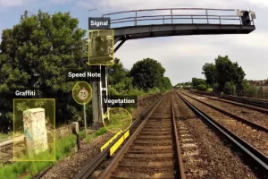
Annotation tools allow points of interest to be clearly highlighted.
Route History
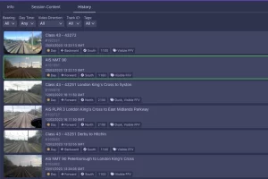
Historical Rail Route Data enables seasonal & project decisions to be delivered using data-driven comparisons. Filter through bearing, track ID and more to ensure you see the relevant data.
Advanced Sighting Reports
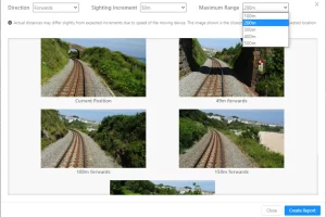
Advanced Sighting Reports provide a convenient visual export of site to aid signal sighting and planning activities.
Over 10,000 UK users from disciplines including Track & Maintenance, Electrical & Plant, Signalling, and Telecoms, use AIVR for planning, sighting, and more, showcasing its versatility and comprehensive application.
AIVR Platform Benefits
What our clients say about us
Share this Resource
Want to show your team the capabilities of AIVR Platform? Download the product PDF below and share it with important stakeholders.
Download
